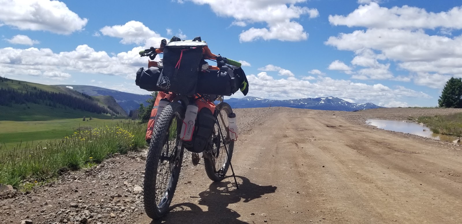
The super crazy climb!
Near the top, snow!
That's mountain has a name, but I forgot it. It's just about 13k feet, 1k feet above me.
ATVers were up here playing in the snow.
Views from the top.
It is the highest pass on the Divide, yet no sign?!?
The mountain in the center is the Summitville Superfund mine
gross
Then the route was rough rolling hills around a few high valleys
Can you find the Forest Service Cabin?
Then my promised downhill (see narrative) was under construction and SUPER lose. I almost biffed it when I first hit it at speed.
I was very suprised to round a corner at speed and see this. I got of the road quickly.
Yaa... not great riding.
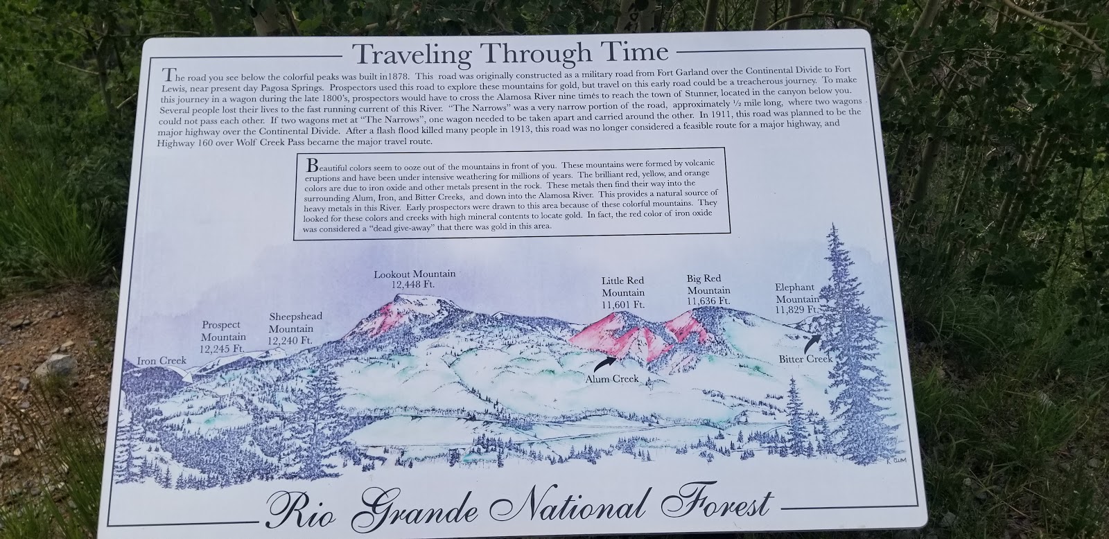
That's lookout mountain, one of many Iron-colored mountains on the way down. I suspect mining made them worse, as my topo maps have mining claims on them.
Climbing Stunner Pass, gee I wonder why this road is so rough...
Oh yes, becase it's made out of this shit.
Lookout Mountain, above Iron Creek, again.
This, much easier pass, had a sign!
Platoro in the distance.
It's nice to feel welcome.
My camp
Spent much of the evening routefinding wet weather alternates to New Mexico's impassible with wet dirt roads.
Thunder Sunset!
And, first is last a usual, where I slept in Del Norte. Up on that stage. Seemed to work.


No comments:
Post a Comment