Whelp, we made it through the Appalachians! Today was hot! They are having a heat wave here, and for the last pile of days we've been in over 90 degree weather and very humid. I'd throw it up as worse than many of the days I've dealt with riding in Iowa. It was rough.
Fun of course. I love tough days like this. I love that we've had 3,000 to 6,000 feet of climbing every day for the last three or four days. Today was somewhere around 3,000 feet of climbing over 82 miles, with 6:31 on bike and riding from around 7am to 3:30 pm. The guys did only 77 miles, but I added in a 5 mile loop because I forgot my water bottles at our Hardee's lunch spot. We did the Appalachians with repeated 70-80 mile days and finding our own route. That's hard-core.
Our route was complicated and required a cue sheet of over 27 turns. I only got off it once, but was able to re-find it. This was good since I was navigating for Aaron, Rob, and Tom too. They are perfectly fine navigators without me, but I happened to be doing it this time. I used Melinda's (Rob's name for Google Map's voice) voice directions for most of it too, but didn't end up needing her because the cue-sheet worked fine (mental note.)
Despite the heat, the riding today was great and a lot of standard touring fun things happened. The stand-out - which I'll remember forever - was about a 3-mile stretch of "gravel" that Melinda sent us down. Melinda doesn't differentiate between gravel and paved roads, or in this case, between roads and ATV tracks that have signs that say "motorized vehicles recommended." I'm not sure why Google hasn't thought of this feature yet...
This road was, by far, the most ridiculous thing I've ever ridden on during a bike tour. It was very steep up and down, and a mix between dirt, gravel, bare rock, and river bed (no really, at one point the road appeared to be a drainage with flowing water). Until now the two worst roads I've been on were in 2014 - a terrible seamed road in South Dakota on highway 14, and some ridiculous boulder gravel roads in northern Wisconsin.
This was the worst and best by far. It was super fun. I've never full-on mountain biked on a fully loaded touring bike before, and we all had a great time. Except Joe. He took a different route because the route finding wouldn't work for his phone and he wanted an early in to beat the heat. Sucker.
Long story short, Melinda cannot be trusted. I'm not sure if she's evil, incompetent, or just trying to keep my life exciting. Either way, it's best to keep a close eye on her suggestions I think.
Tonight we are recuperating from near heat stroke in the home of Morgan's relatives Steven and Virginia and their 10-year-old twins Conner and Aaron. They took us out to a great dinner and we're watching olympics tonight. It's also Morgan's birthday, so fun things happened.
Tomorrow we have a 29 mile relaxed and relatively flat day to more of Morgan's relatives in Chase City, and then we average 40 miles a day or so all the way to Virginia Beach on Aug 19th. The tour is ramping down for the Nebraskans (riding since early June) and the 'Stralians (riding since early May). I'm just getting started though, but 2-3 weeks and over a 1,000 miles is pretty good considering all the other fun things I also did this summer.
Life's pretty good. ILYI
 An example of what sleeping looks like. Yup. Exciting, right?
 I didn't take too many photos today because my phone was busy navigating, but in general what's up is that lots of tobacco plants showed up, as well as the first big stands of pine tree's that I've seen since Oregon.
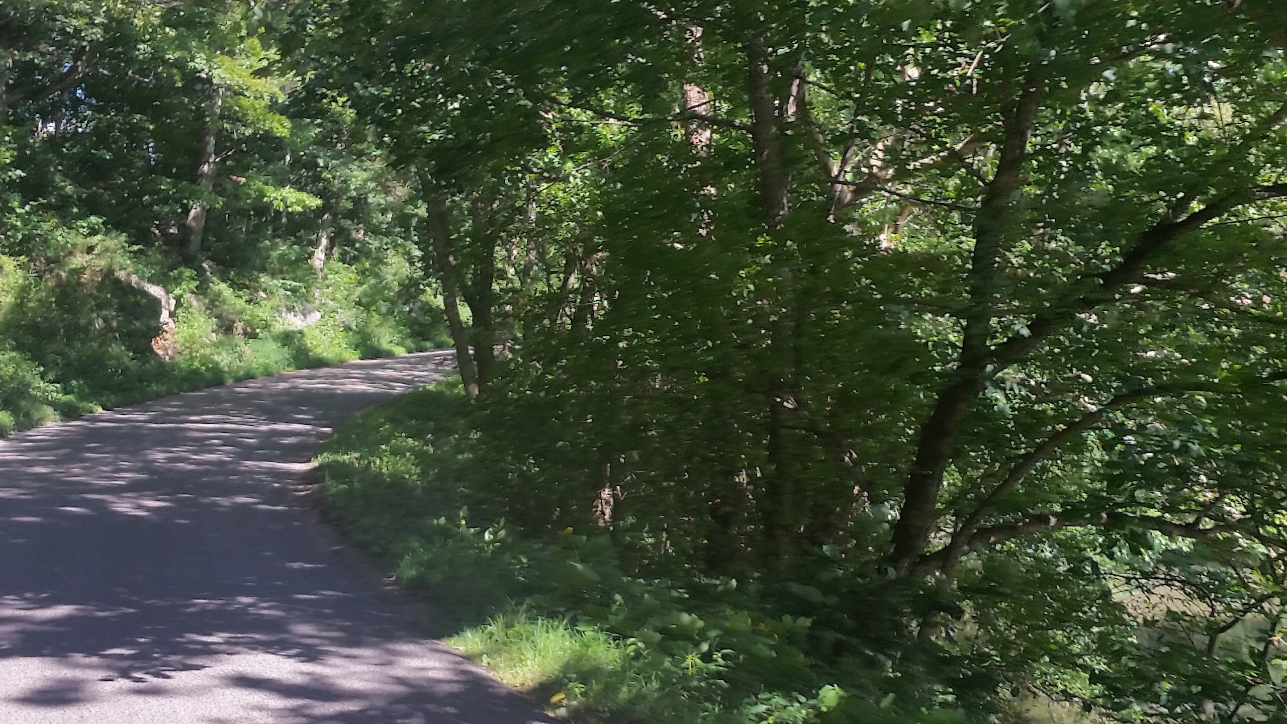
 Melinda's "road"
 Yes Melinda (the google map's voice), this definitely is a road you should route bikes on.
 Clearly a great road.
 Virginia is for farmers, I guess.
 It took us awhile to figure out what these plants were. My first Tobacco field!
 Oh... Hi Rob... I didn't see you there.
 This photo doesn't quite show how melting we all were.
 Tobacco!
 And moooore Tobacco!
 Our cue-sheet for the day. Yeesh.
 It was Morgan's birthday. This happened.


 S
S