Monday, August 18, 2014

Colona to Iowa City photos


A sideways bridge on the Miss in Davenport

1,500 miles and 20ish days later I return to the Mississippi

Iowa roads without RAGBRAI are weird

A turn bridge thing in Davenport
 I80 again

Jackpot, dead road with shoulder

That bridge from before turned to allow a barge

I love riding in Iowa


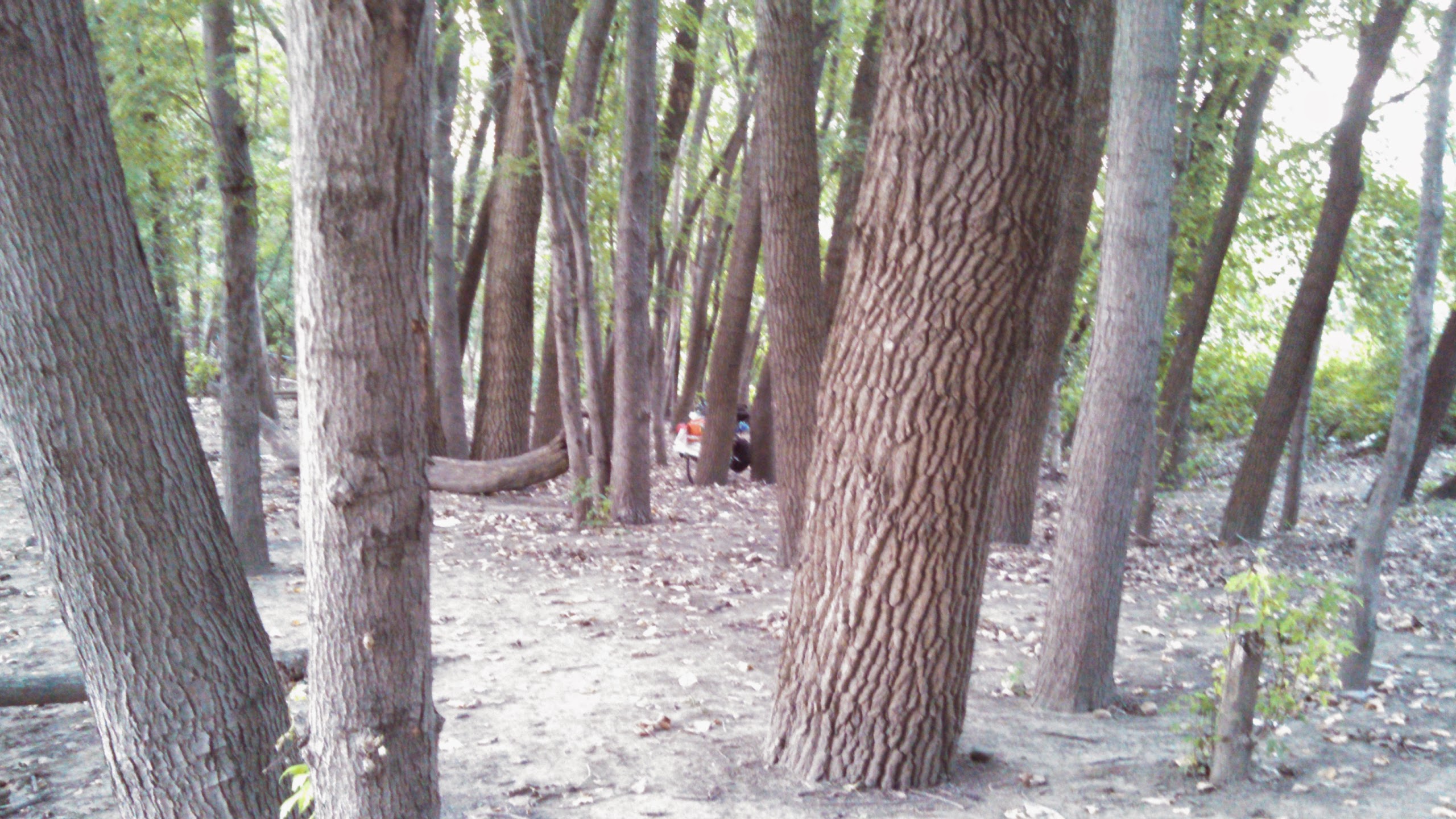
My last park bed, in Calona

The bridge turning back

Some Iowa gravel

Crossing back in to Iowa

My morning canal view

Barging through

Sunday, August 17, 2014

Colona, IL to Iowa City, IA: Just do the ****ing miles

Woo, I made it!  90 miles, 6:06 on bike, arriving around 6pm to Iowa City.  It was a great ride, and my second to last day.  Lets chat about it, shall we?

The place I slept last night turned out to work fine, no-one tried to arrest me.  This means that the last place I had to pay to sleep will remain the park at the Continental Divide just before Helena, Montanna on the 3rd of July during the big thunderwhompie storm.  Before that I think it was in Austin Junction in Oregon, then at an Oregon park back on day 4 and days 1 and 2.  Winning! Free Sleep!

It took me about 28 miles to get free and clear of the quad cities.  I jogged north of Moline on the advice of a cyclist who I met in the morning to get onto the river bike path without issue, then road south/west along the river until I found a good bridge to cross the Mississippi on, then I continued SW on the Iowa side until I was far enough out of Davenport to turn due west.  My route, along with doing it on a Sunday, meant I got through the city without issue.

It was nice revisiting the Mississippi again, It'd been about 20 days and 1,500 miles since I last saw it.

From there I had a few route options, but my first one put me on gravel. Poop.  Iowa has a high percentage of gravel roads, County Road Roulette doesn't work well here.  The bright side is the county roads that ARE on my map are low traffic and paved.  I ignored Google's suggested bike route in favor of a route that took county roads right near I80 and went through small towns, using my standard "the interstate will pull off most of the traffic" trick.  It worked great!

I took my first real stop at mile 49 (!) at 12:40, flying the 20 miles after I escaped the Quad Cities (that was slow going) thanks in part to a morning tailwind that was gone by afternoon.

After a break of coffee and pizza, I pushed another 25 miles to mile 75, putting me 15 miles outside of Iowa City by 3:30.  That's hella winning!  I did 5 miles of gravel in that stretch, but it was good gravel and I knew it was coming.  It was a small price to pay for an almost car-free route most of the way from Davenport.

I took a break of donuts and beer there, met a guy who recognized me from two years of juggling on RAGBRAI (!) and didn't leave until 5pm.  Also, the town, West Branch is the birthplace and burial place of Herbert Hoover.  So... That's special..?

A scenic hour later I was at my Sister's house in Iowa City hanging out with her family and my Dad and Stepmom. 

I've never toured Iowa not on RAGBRAI, but I really liked it.  It was much better than riding in Illinois, the population decrease as you go west makes for a better experience on the roads.  I also know this state well, and likely have done RAGBRAI through many of the towns I went through today.

If you've been reading this blog all summer, you've likely noticed that I have things that I repeat to myself frequently: Be open to outcome.  Never say no to adventure. Don't worry about things you can't control. It is what it is. Shut up legs, do your job.  (I didn't write all of these).

One thing I've been saying a lot lately to myself that's new is "just do the ****ing miles." Since Indiana I've been trying to pick the shortest and best route to Iowa City. Often I failed, especially in Illinois.  Mentally, I'm tired of trying to figure out the best route, and it's time to just pick a route and do the ****ing miles.

I dunno. I like it as a saying.  I don't really control these things though, my inner voice tends to just say these things to me when it thinks I'm being a wuss.  A few days ago it started saying that... a lot.  Fully sane people don't go on solo 60 day 4,000 mile bike trips.

Tomorrow I take a rest day in IC to hang with the family, and then I'll try to push 100+ miles into my home town of Cedar Falls to end the trip.  I'll hit over 4,000 miles, the longest of any bike trip I've done I think (I'll have to check 2003) and enough to put me into Vermont by my original route, but not by my UP route. I also could have been in the Atlantic Ocean days ago if I'd wanted.  I'm glad I did the loop around Lake Michigan though, that was fun.

ILYI.

It's only 3:30, I'm 75 miles into a 90 mile day, I already have a place to stay, I'm back in Iowa, and it's my second to last day of riding on the #biketour . Time for a mini #ragbrai

Saturday, August 16, 2014

Utica to Colona Photos


Mark's Dad, Jim, came to visit!

One of the washed out sections of the Hennepin trail.  Notice how thin the paving is.  Also the canal is about to empty in to that river if it floods one more time.

The pathway into my possible stealth camping spot.

The section of Highway 6 between Geneso and Colona had a construction section, turning it into basically a 10 mile bike trail for me.  Bikes can pass through construction zones when cars can't.  Winning.
 
Downtown Uitica was kind of cool.

Jim and Me!

This truck was trailing this tractor at about 22 MPH with it's flashers on.  I got a 10 mile no-work 22 mph draft. Stinky though.
 
The IM Canal decided this was a good place to end. Not at an intersection, just in the middle of nowhere, forcing the rider to backtrack about a mile.  Thanks jerks.

My current location. It's dark now as I caption this, and it looks like I'll be able to sleep here and not ride to my stealth spot. 

The Hennepin Canal Trail is officially closed... and apparenntly has been for awhile.

Uhm... your lock isn't locked...

View of the IMC from a bridge in La Salle. Way in the back is a rusting out ghost barge!

Utica to Colona: Did you know that Ilinois is broke?

I was told that a lot today.  Illinois is broke.  They ain't gonna fix it.  Well no kidding...

The first 40 miles of my ride today took about 5 hours.  The second 47 miles took a little under 4 hours.  All in all I did 87 miles with 6:19 on bike and got into Colona about 7pm.  Ergh.

The real issue was routing... I had about 5 miles left of the unquestionably beautiful but questionably surface Illinois-Missouri Canal trail to get me into the bigger sprawl crap area of La Salle.  From there I could pick state highways or a kinda meandery way to the Hennepin Canal trail which would take me all the way to the Quad Cities on the Iowa border  (Colona is more-or-less in that same metro area).

Since I was in a semi-busy area I went for the trail over the highway. Mistake!  First, it was hella hard to find and I got stuck on one of the worst gravel roads I've been on since Wisconsin.  When I finally got to the trail around mile 25 it was terrible.  Pretty, yes but it had a terrible surface.  It was partially paved with that 1/2 thick rock asphalt that's worse than crushed limestone, and the crushed limestone parts were soft and you sank in deeply.

The trail was officially closed, I guess, by the ancient trail closed signs everywhere. This basically means "We're out of money, this trail probably sucks now."  It did.  It was washed out in a few places and all-in-all pooptastic.

At mile 40 I finally got to an area where I could kick-off the trail on to regular highways.  Highway 6 is a red road on the map, but it shoots straight to the Quad Cities and is right next to I80.  That means that I80 will pull off all the through  and truck traffic, leaving me with only saturday local traffic.  I90 in South Dakota did a similar thing for my Highway 14 route about 30 miles south of it.

Highway 6 was great! Sure it was a bit hilly in spots and I had a side/headwind, but damn it was nicer.  There were cars but nothing worse than what the highways out west had (no shoulder though).  I pushed 35 miles into Geneso in no-time, took a short break, and then made a plan...

Oh, wait,  before I tell you my plan, I did cheat for about 10 miles.  A tractor passed me at about 22mph trailed by a large pickup truck with their flashers on to warn cars.  I was able to draft off that truck for 10 miles, barely working to go 22 mph instead of the 16-18mph that I was doing before.  I paid for it by sucking exhaust, but it was fun! 

Ok, back to the plan...

So, Colona is 10 miles past Geneso and the last town before I'm in urban sprawl crap from the Quad Cities.  It's still a town of a few thousand, so camping here should be hard. However, the crap canal comes through this town so I re-found it just before town and got on it to find a stealth camping spot just inside town. 

I found a great spot, but when I went in farther to get water I happened upon a pavillion with water, bathrooms, and power.  Even though I'm in a big town, this area seems dead. The plan is to do all my night stuff here, and then when it comes time to sleep assess if I need to bike 2 miles back to my stealth spot or if I can crash here.

Some final thoughts: The people in this part of Illinois are hella nice!  It seems I'm finally out of Mordor's realm of influence. Tons more people have been coming up to me and talking to me, asking about my trip, etc.  As if to punctuate this, my good buddy Hab's in Eugene's Dad came up and found me on the road once he figured out where I was. He lives in a town in Illinois about 30 minute south of where I was riding (too far off route to plan a stop.)  He brought me Cherry Tomotoes!  Winning!

This is probably my last night camping, as tomorrrow night I'll be at my sister's in Iowa City and then I'll ride my last day into my Dad's place in Cedar Falls.  It's crazy to think that it'll all be over soon....

ILYI

Peotone to Utica photos

There are lots of photos of this day, because it was varied and pretty. As usual, the photos are in random order.  Phones aren't computers.

This is in the Illinois-Michigan Canal (IMC) trail.  Notice how the bridge is out.  We'll come back to that later.

The IMC had several camping spots along it.  This one was by far the most developed. I'd have stayed here if I'd had enough water with me.

View from the IMC

Where I did camp, in the trees along the Illinois River.

The IMC  was spanned by some pretty cool bridges.

The hell that is Minas Morgul (Joliet). Notice how the road I was on has zero bike infrastructure, yet was the main bike route through town.
 The IMC trail was pretty overgrown at times. I've been told several times that Illinois is broke.

Views from the IMC


There was lots of the Giant Purple Swamp Wheat around, which makes me think that the entire field I saw of it was not meant to be a crop.

Along the Illinois River near where I camped.

This was the trail into Minas Morgul.
 
Minas Morgul did have some OK views.
 
Remember that top picture?  After going down a steep bank I got to walk my bike over a 2x4 go get across.  It was sketchtastic!
 
The IMC is not well maintained, but still better than that POS trail in upper Wisconsin!

The canal is a bit dried up here... and the trail is a brown lawn.

The path into Minas Morgul

Illinois likes to close paths (this was the IMC) without posting why or detours.  This one had a bridge out and it took me awhile to get around that and re-find the path.

Minas Morgul

Early in the morning.  This is what it looks like to lose at County Road Roulette.  Illinois has a much greater percentage of gravel roads than Indiana, so... it was a hard morning.

View from the IMC


View from near where I camped on the Illnois River
 
Dinner Time!